A recently issued State Fire Hazard map shocked many by eliminating over 30,000 acres from “Very High Fire Zones,” meaning a host of increased fire safety building, land use and other regulations would no longer apply in the eliminated areas.
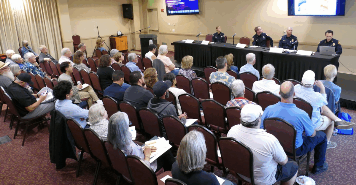
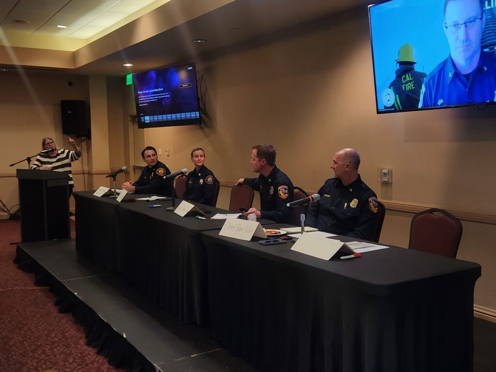
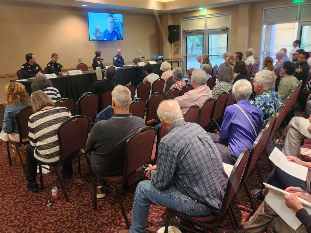
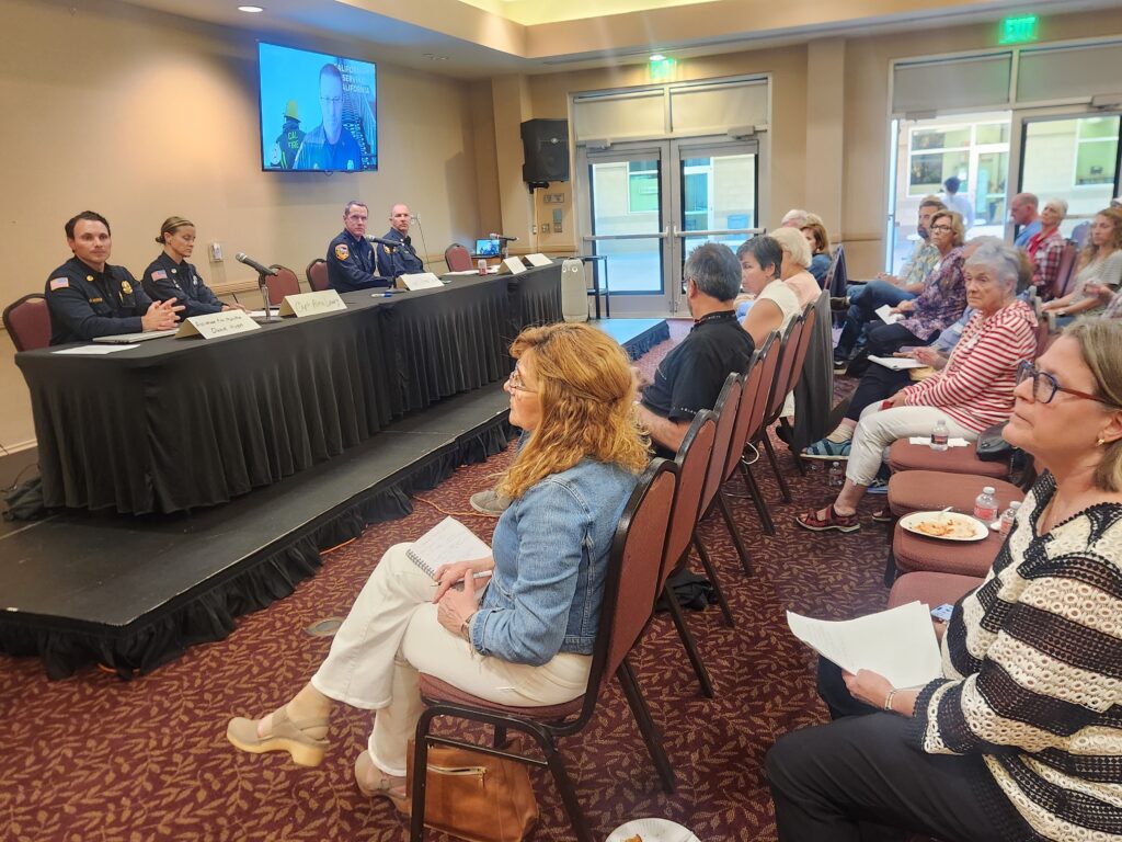
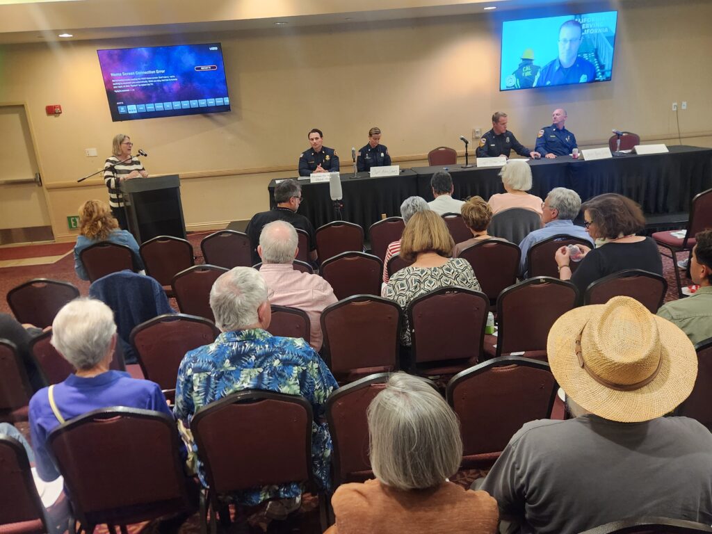
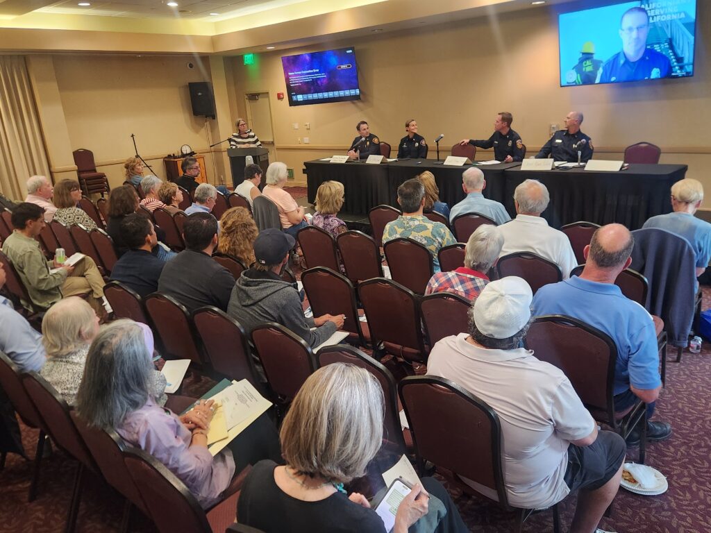
Concerned local Fire Safe Councils organized a May 21st forum so CAL FIRE and San Diego Fire Rescue officials could address these concerns with the March-issued map. Speakers from CAL FIRE included Chief Brian Barkley, Deputy Chief Ryan Silva and Captain Thomas Shoots, and from SDFR, Assistant Fire Marshal Dan Hypes, Captain Alma Lowry and Assistant Fire Marshal Alex Kane.
Chief Barkley explained to the over 50 attendees how new California legislation required the State Fire Marshall to define not just “Very High” fire hazard zones but for the first time, also “High” and “Moderate” zones, and for local agencies to adopt requirements for all three zones.
The maps are final as issued for the mostly rural “State Responsibility Areas.” However, urban “Local Responsibility Areas” like San Diego, may add acreage to the maps, but none can be deleted.
Barkley indicated that recent science and technology used to define “hazard” better analyzes the physical conditions predicting fire likelihood and behavior over the next 50 years, regardless of any mitigation efforts. “Risk,” on the other hand, projects potential damage, also considering increased home hardening and other fire mitigation efforts.
“The Government code very explicitly states that we cannot lower the hazard. Once the State Fire Marshal has identified that you are in a moderate, high or very high, we can’t lower the hazard level,” Assistant Fire Marshall Hypes explained. The good news is that AFM Hypes indicated the city is planning to redesignate much of the “High” and “Moderate” zones in the new maps to “Very High” and they are also adding some canyon areas and a 300-foot buffer zones for the potential ember cast. The proposed revised map should be on the state website within the next month.
The City of San Diego has until July to finalize amendments to the base map issued by the Office of the State Fire Marshall. According to AFM Hypes, 20,000 acres will likely be added to the city’s designated very high fire zones. While this is less than the 30,000 acres that were removed, much of that acreage should not have been included in the first place—such as federal lands and Fiesta Island, which is uninhabited and surrounded by water.

Thanks to SD Urban Wildfire (sdurbanwildfire.org), pictures, the presentation and a full meeting recording can be found at: https://www.sdurbanwildfire.org/fire-safe-council-forum/
Alvarado Estates, Rolando Park and Kensington Fire Safe Councils organized the forum. Other FSCs represented at the meeting included College Canyons, College East, Talmadge, Scripps Ranch and University Heights, as well as Canyonlands, Neighbors for a Better San Diego and a representative form Senator Weber Pierson’s office. Anyone wishing to contact their local fire safe council or for information on starting an FSC should contact info@rcdsandiego.org.